Description
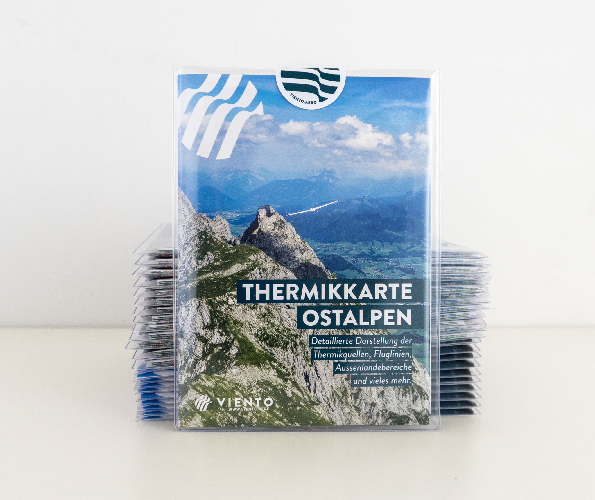
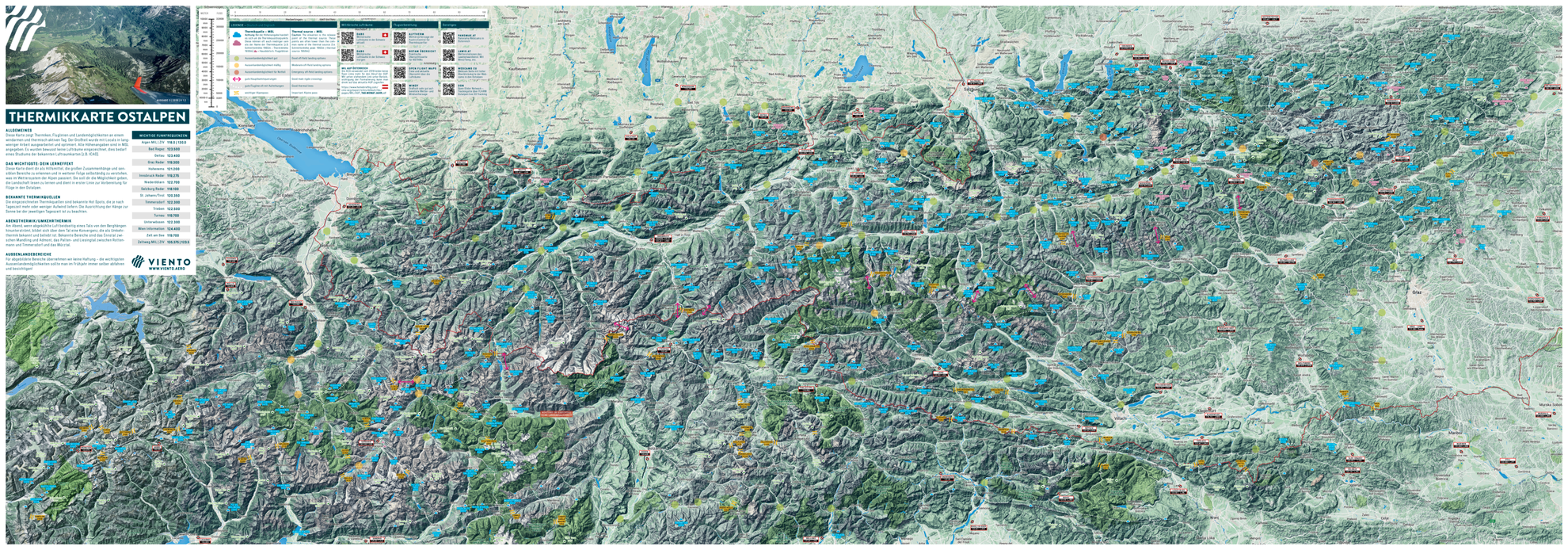
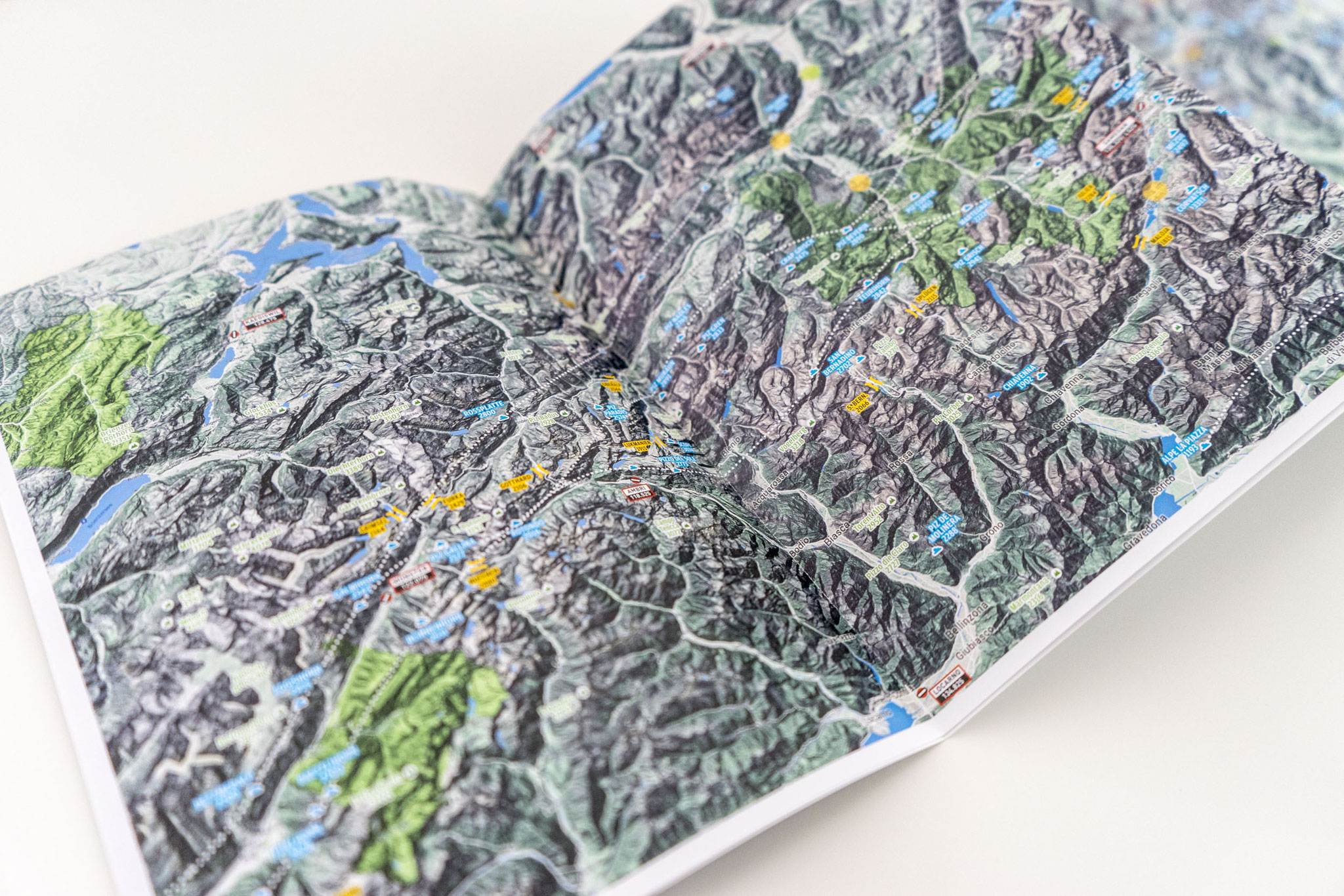
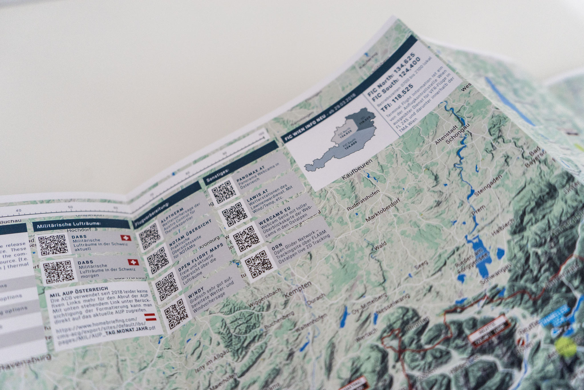
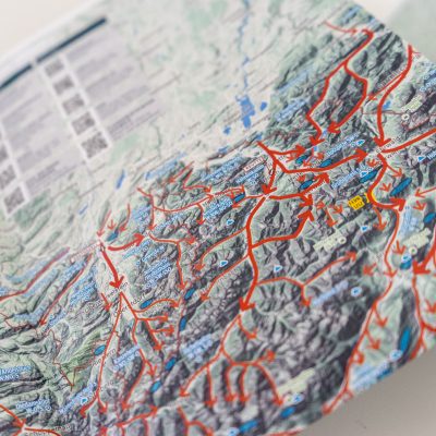
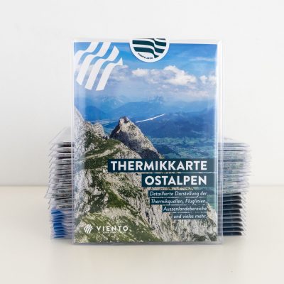
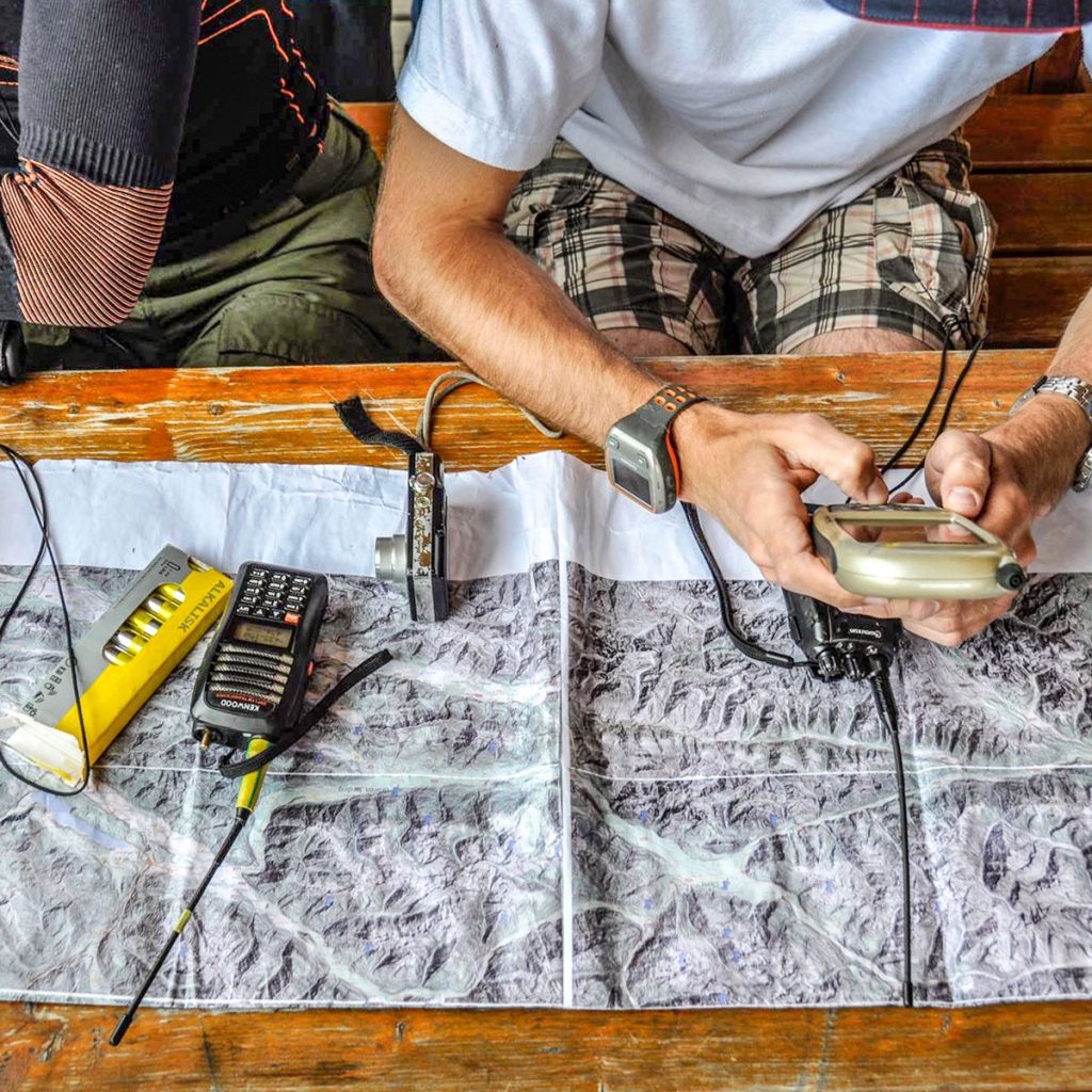
This map contains house thermals, optimal glide lines and potential landing areas for a light wind, thermal day the alpine regions of Austria, Italy (Südtirol – Gemona), Switzerland as well as Bavaria. The optimal glide lines are designed for sailplane pilots, but are still useful for hang gliders and paragliders. Field landing sites are as useful for hang-gliders as sailplane pilots and all house thermals are useful for all thermalling aircraft. The majority of the information is based on Werner and Simon’s long experience, augmented by locals and after a protracted process was worked up and published. All altitudes are AMSL. Airspace is deliberately omitted and this information should be obtained from current air charts (e.g. ICAO)
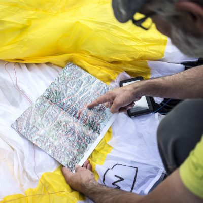
This map aims to assist in getting a bigger picture, seeing connections, recognizing sensitive areas and therefore being able to understand meteorology in the Alps. They should further help with reading terrain. They are primarily for flight planning in the eastern Alps. The marked house thermals are those which have been identified in-flight.

 Spare PTT Button For HG-UV79UV Radio
  NAGOYA NA-771 Dual Band Walkie Talkie Baofeng Antenna VHF/UHF
  Bluetooth Remote Control for XCTrack










Reviews
There are no reviews yet.