


Description
Viento is a joint project of Werner Luidolt and Simon Lemmerer. Both are enthusiastic pilots and they set themselves the goal of pooling their knowledge for the benefit of other fliers. The aim is to put something back into the flying community and to assist less experienced pilots with initial cross-country flights, especially in the Alps.
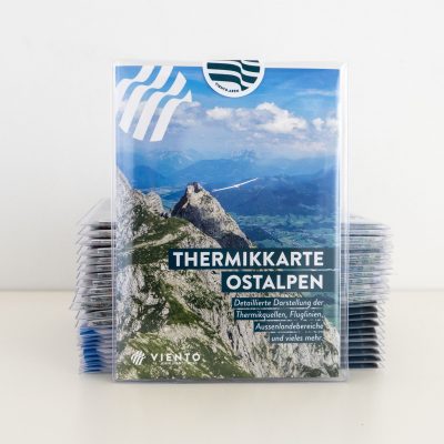
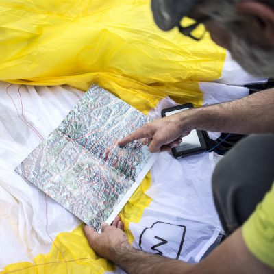
The map displays valley wind systems and their directions of flow on normal/light-wind, thermal days. The majority of the information was painstakingly collected with the help of locals and after a protracted process was worked up and published. Despite this, the complexity of the weather means it is possible that not all valley winds have been included or that one or more of the arrows is not completely accurate. There are clear areas and less defined zones, where changes may occur throughout a given day. Some areas are more or less affected by large-scale weather patterns or strong supra-regional met winds.
This map is intended to assist with getting a bigger picture, seeing connections, recognizing sensitive areas and therefore to be able to understand what is happening in the atmosphere and how to read the terrain. Steep slopes, areas of convergence and lee areas are immediately identifiable.
Note: The writings are in German and in English


Reviews
There are no reviews yet.