Are you also fascinated by flying in the Alps? Would you like to prepare for the upcoming Worlds in Italy and get these tricky valley winds and alpine thermals right? Or maybe you are planning a new step of an improvement in your XC flying?
In any case this is just a must have hang gliding goodie for anyone who is planning their trip to the Alps of Austria, Italy (Südtirol – Gemona), Switzerland as well as to the German Alps.
These two topographical maps of thermals & valley winds were made by Werner Luidolt and Simon Lemmerer. Both are enthusiastic active pilots and they set themselves the goal of pooling their knowledge for the benefit of other fliers. The aim is to put something back into the flying community and to assist less experienced pilots with cross-country flights, especially in the Alps.
Werner Luidot with his map 
Thermal Map of the Eastern Alps for Hang Gliders and Paragliders 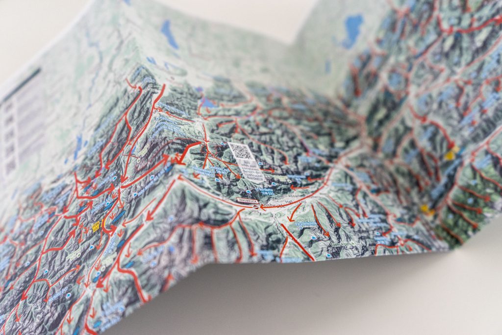
Valley Wind Map of the Eastern Alps from Viento 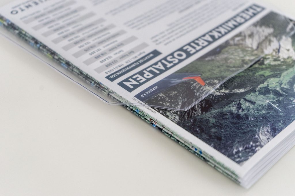
The map comes in a practical clear plastic sleeve
And one must admit, the project will be definitely successful as the quality of the maps will satisfy even the most picky pilot. Printed in a very high resolution on high quality paper in a professional typography, this is a great product to use for planning cross country flying. One would only hope the new season is coming soon enough in order to be able to apply all the wisdom you get from these awesome maps!
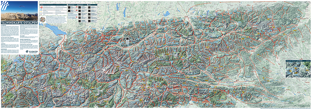
The Valley Wind Map displays valley wind systems and their directions of flow on normal/light-wind, thermal days. Depending on the time of the day the winds in the Alps might swap around, these details are also carefully shown. Most of the information was painstakingly collected by Werner Luidot with the help of locals and after a protracted process was worked up and published. There are clear areas and less defined zones, where changes may occur throughout a given day. Some areas are more or less affected by large-scale weather patterns or strong supra-regional met winds.
This map is intended to assist with getting a bigger picture, seeing connections, recognizing sensitive areas and therefore to be able to understand what is happening in the atmosphere and how to read the terrain. Steep slopes, areas of convergence and lee areas are immediately identifiable. The QR codes at the top will lead you to the most relevant in the Alps meteo websites.
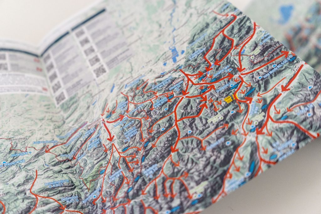
The Thermal Map contains house thermals, optimal glide lines and potential landing areas for a light wind, thermal day. Field landing sites are as useful for hang-gliders as sailplane pilots and all house thermals are useful for all thermalling aircrafts. They are primarily for flight planning in the eastern Alps. The marked house thermals are those which have been identified in-flight.
Thermal Map of the Eastern Alps for Hang Gliding and Paragliding 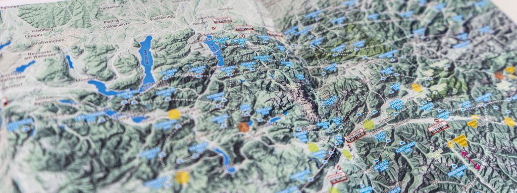
Each thermal has found its place! 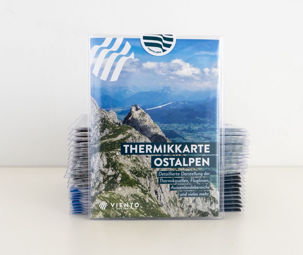
The thermal map folded 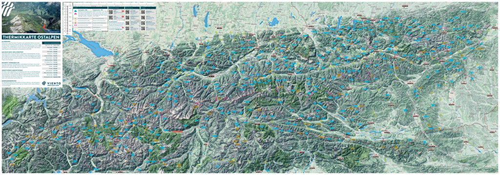
Thermal Map. Overview 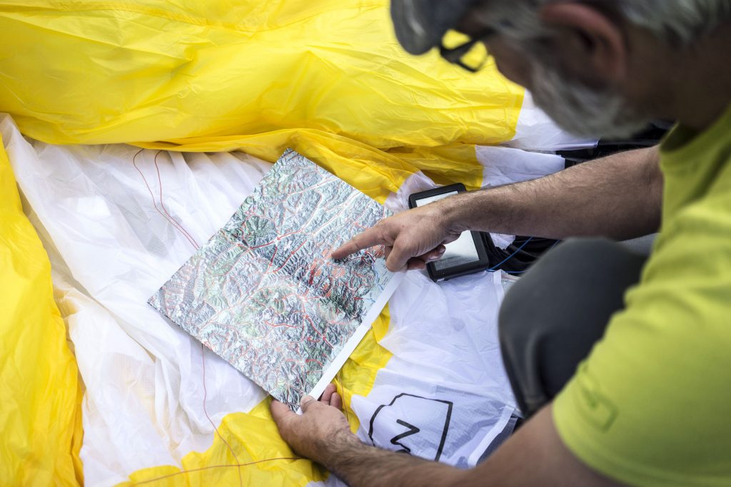
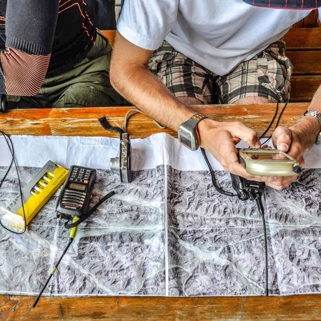
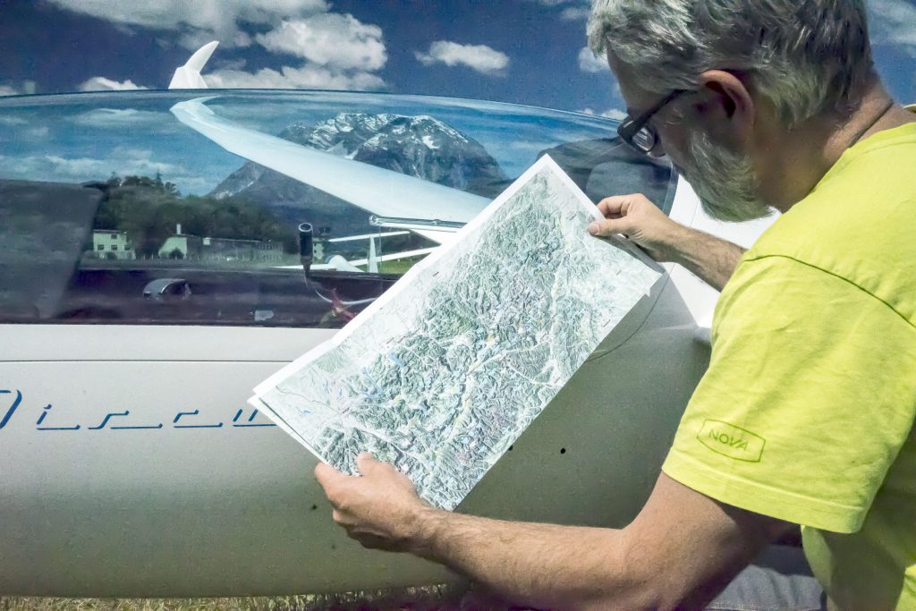
Checking out the valley wind system before launching
Each map also contains a collection of QR codes/links to the most useful for the pilots web recources such as meteorological forecasts, take off webcams and weatherstations, airspaces etc.
In case you’ve got interested and would like to see some more detailed information regarding each of the Viento maps presented at Delta-Goodies.com please use the link below. Multiple order options are also available, contact us in case you’ve got any specific needs.
To the maps: https://delta-goodies.com/product-category/hang-gliding-goodies/hang-gliding-books-and-maps