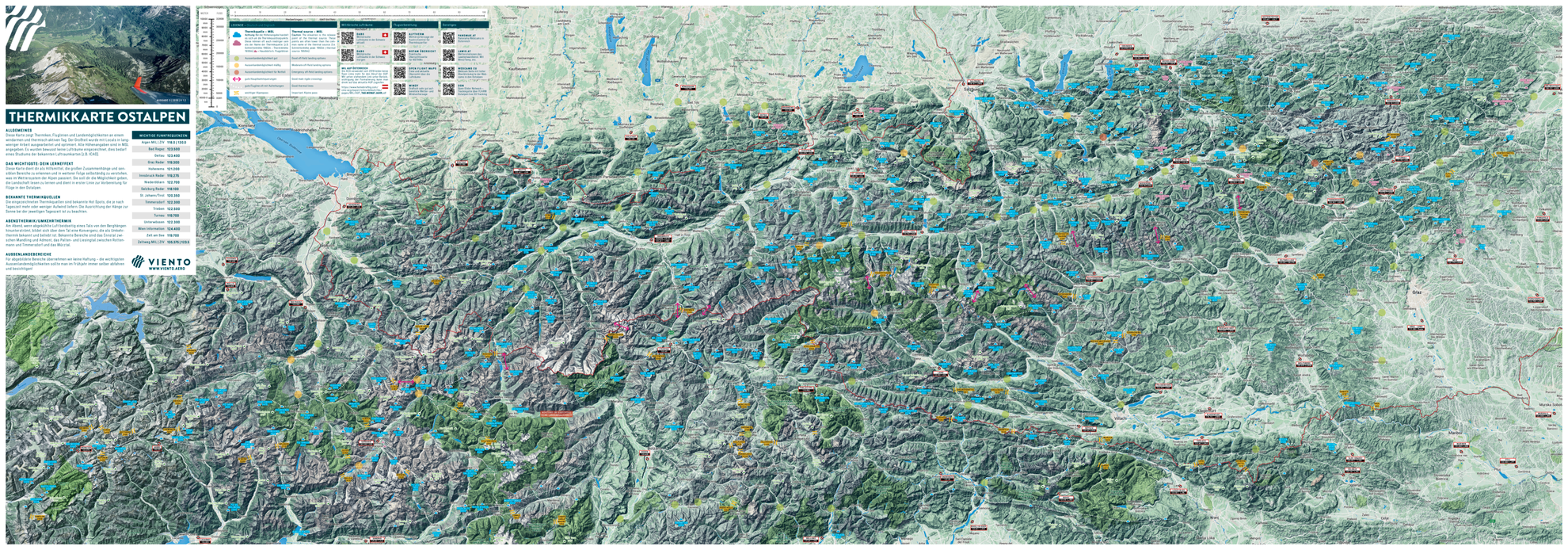
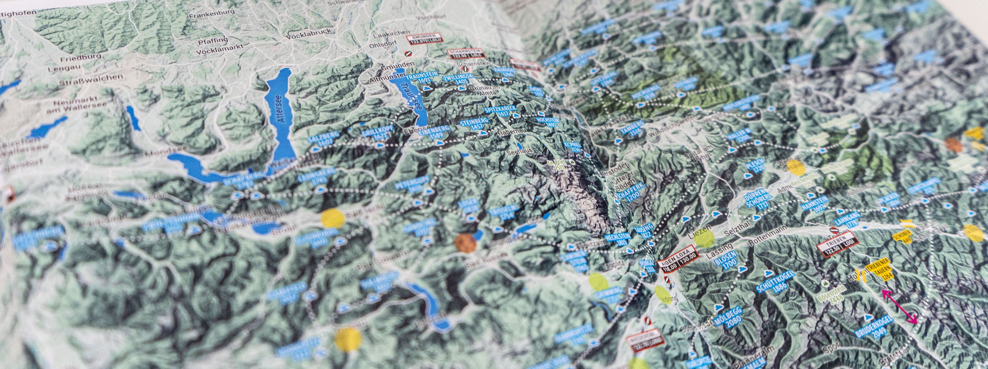
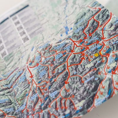
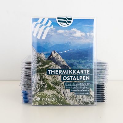
Hang Gliding Goodies

Thermal Map of the Eastern Alps – Austria, Switzerland, Italy, Bavaria

26.00

This map contains house thermals, optimal glide lines and potential landing areas for a light wind, thermal day in the alpine regions of Austria, Italy (Südtirol – Gemona), Switzerland as well as Bavaria..

Contents:

  • Known house thermals: the marked house thermals are recognised hotspots , which, depending on the time of day, generally provide lift.Airfields’ radio frequencies, including military and civil frequencies
  • Field landing areas – good
  • Field landing areas – doable
  • Field landing areas – emergency only
  • Good possibilities for crossing main ridges
  • Good glide lines – often with good transition possibilities
  • Prominent mountains/thermals, including names and altitudes

NEW 2018

  • Important mountain passes incl. altitude
  • QR codes linking to important info pages
  • Additional good glide lines in different areas

Delivery:

  • in clear plastic sleeve and cardboard envelope or rolled in a solid mailing tube

Note: The writings are in German and in English.

Share

Description

This map contains house thermals, optimal glide lines and potential landing areas for a light wind, thermal day the alpine regions of Austria, Italy (Südtirol – Gemona), Switzerland as well as Bavaria. The optimal glide lines are designed for sailplane pilots, but are still useful for hang gliders and paragliders. Field landing sites are as useful for hang-gliders as sailplane pilots and all house thermals are useful for all thermalling aircraft. The majority of the information is based on Werner and Simon’s long experience, augmented by locals and after a protracted process was worked up and published. All altitudes are AMSL. Airspace is deliberately omitted and this information should be obtained from current air charts (e.g. ICAO)

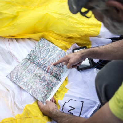
This map aims to assist in getting a bigger picture, seeing connections, recognizing sensitive areas and therefore being able to understand meteorology in the Alps. They should further help with reading terrain. They are primarily for flight planning in the eastern Alps. The marked house thermals are those which have been identified in-flight.

Share

Additional information

Weight 150 g
Number of copies

1, 5, 10

Reviews

There are no reviews yet.

Be the first to review “Thermal Map of the Eastern Alps – Austria, Switzerland, Italy, Bavaria”

Your email address will not be published. Required fields are marked *